
Pixels, pictures, and a mapping technique idea from Mary-Anne Michalski
CHIMA member Marie-Anne Michalski was thrilled to be able to attend all of the live HIP Week events and share her thoughts during the information governance fireside chat with Eric Sutherland. We followed up with her to discuss her analogy of health data as pixels vs. health information as a picture and one of the incredible opportunities she saw following the session on location analytics.
“In HIM, part of the job is to make sense of data,” Marie-Anne begins. “Knowledge is just information applied.” She explains that health information professionals undergo training to understand a wide breadth of information—from medical terminologies to coding standards to abstracting data to understanding and making sense of that data. When health information professionals are asked to contribute to a research paper or report, they need to make that data understandable.
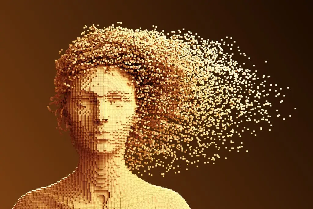
This is where the pixels vs. pictures analogy comes in. Marie-Anne likens the data that health information professionals deal with to pixels. On their own, the pixels don’t mean much and are hard to understand. When put together, though, everything becomes clearer. The resulting picture represents what the health information becomes. “It’s about taking all those bits and pieces and painting a really good, comprehensive picture that’s usable by all different types of people—hospital boards, governments, researchers, and more.”
Marie-Anne notes that there is a challenge that comes with digitizing information from analog files and making sense of that digital data. As with an oil painting that moves from its original canvas into a digitized image, you can sometimes lose the nuances in digital data.
“It was a great analogy during the fireside chat. The pixels will always be accompanied by a picture. In other words, health data will always have a layer of information providing it context,” adds Eric Sutherland. “I believe that in order to move Canada’s health data (pixels) in the right direction, the information (picture) needs to remain coherent wherever it goes. We can achieve this by understanding the health data supply chain that manages this journey.”
And then there’s the question of making the information make sense to people in many different countries. In session 0072 Location analytics, Marie-Anne saw a potential answer.
“Translation can make it difficult to get exactly the same meaning from the same data,” she says. Using set standards helps, and this is part of what the Canadian Institute of Health Information (CIHI) and the World Health Organization (WHO) work on—428 is 428 regardless of your language. “But what if we could make it a picture? We use pictures for highway and road signs because they mean the same thing to everyone.”
Marie-Anne contemplates how the technology that Alex Miller and Dr. Este Geraghty described in their keynote session can be used to look in. “These mapping techniques could be layered on the anatomy of male and female, beginning externally and then opening to further details such as the system, organ, and even cellular level to indicate disease processes, changes, and also effects of treatments,” she shares excitedly. In essence, it would be a mapping system that could be used in conjunction with existing coding by using pictures in a layered format. “You take away that need to translate and make the data easier to import, as it becomes point and click,” she says. It makes language irrelevant and would enable the data to be shared into a central database.
“The power of a geographic information system (GIS) is its ability to provide layers of meaning in context,” Dr. Geraghty adds. “We can apply those layers geographically to better understand macro-level health impacts of neighbourhoods, the built environment, and social determinants of health. At the same time, context can be relevant to micro-spaces. In other words, GIS can help us to understand spatial dynamics that are not necessarily geographic, such as the importance of sitting in the front of a classroom on learning or the spatially relative interactions within the human body.”
And as these technologies continue to develop, there’s no doubt that the potential for new applications seems almost limitless.
To watch the recorded HIP Week 2020 sessions, including 0072 Locational analytics: The next wave of managing Canadian health data and 0077 Discussing health information governance in Canada, purchase your HIP Week 2020 pass today.