
Mapping out Canada’s digital public health future
By Alexander Watts, Ph.D., Public Health Industry Manager, Esri Canada
It was a privilege for me to present at HIP Week 2021 on October 4, and talk about the unquestionable value of location intelligence and geographic information systems (GIS) to handle the complex, multi-dimensional challenges health information professionals will need to face in the future – for both public health as well as primary and acute care.
In many cases, understanding ‘where’ will be central to how we prioritize public health interventions and to ensure physicians, nurses, and facility operations managers can optimally prepare themselves and their clinics for the unique health demands of their communities.
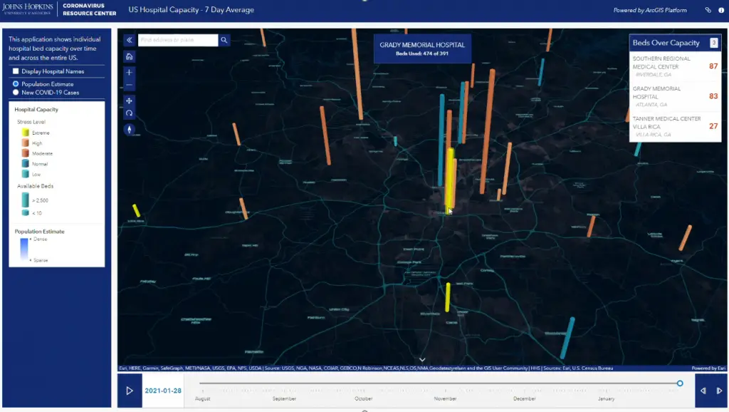
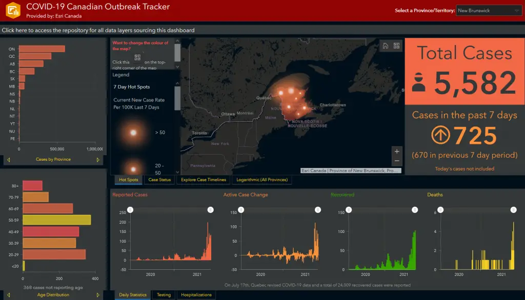
I shared a variety of case studies demonstrating how GIS supports health facility operations planning, to help evaluate community health needs, especially in rural areas, and the opportunity for GIS to facilitate collaboration between health teams and for communication to decision-makers or to the public.
It was a pleasure to hear Dr. Ajantha Jayabarathan (Dr. AJ), a family physician and assistant professor at Dalhousie University in Nova Scotia, tell her story about how the GIS application – called ‘Health Geo-View’— enables a more holistic perspective of her patients’ needs and creates a new way to visuo-spatially organize and index information about community-specific services.
(To see these examples, if you have access to HIP Week 2021, watch the recording—Mapping out Canada’s digital public health future.)
As head of Esri Canada’s Public Health program, I lead a team focused on helping health organizations apply location intelligence to get valuable insights from their data and improve service delivery. We see lots of opportunities in which GIS can be plugged into health information workflows and mandated jobs—leading to a more integrated and effective public health system. For example:
- As a system of record, health information professionals can efficiently integrate systems to assist in ordering of tests or improve patient access to their medical information;
- As a system of insight, GIS can provide location analytics to augment patient-physician relationships and shift to community and home-based delivery; and
- As a system of engagement, GIS can help communicate insights for enhanced diagnostic decision-making and disease management.
Many CHIMA members have since reached out to me about how they can get started with GIS and learn the fundamentals of mapping and spatial analysis. Here are some options:
- CHIMA members have access to the three-part webinar series “Using GIS from data gathering to storytelling”. This series is worth 4.5 CPE credits with the Canadian College of Health Information Management. To access this series, please sign in to the dashboard area at echima.ca, locate ‘My exclusive offers’, and select ‘Esri Canada’.
Esri Canada created the CHIMA GeoHub for educational purposes to provide members with a self-service platform to explore using GIS. It is recommended to review the webinar series first before practising in this software. There are also several other GIS tutorials you can complete in the CHIMA GeoHub. - Take the instructor-led course ArcGIS Online Essentials: Public Health Edition. This one-day course will teach you how to find relationships and trends and better visualize your health data using cloud-based GIS.
- Contact us at publichealth@esri.ca. My team and I are more than happy to help answer your questions about using location intelligence and GIS for health informatics.